How Maps Shaped the World
Throughout history, maps have played a vital role in expanding the boundaries of human knowledge. Whether guiding early explorers across uncharted seas or serving as tools of diplomacy and trade, the act of mapping has shaped nearly every aspect of human civilization. From the simplest sketches of ancient lands to the highly detailed digital maps of today, cartography has continually helped us make sense of the world and navigate its complexities.
The Birth of Cartography and Its Early Role in Exploration
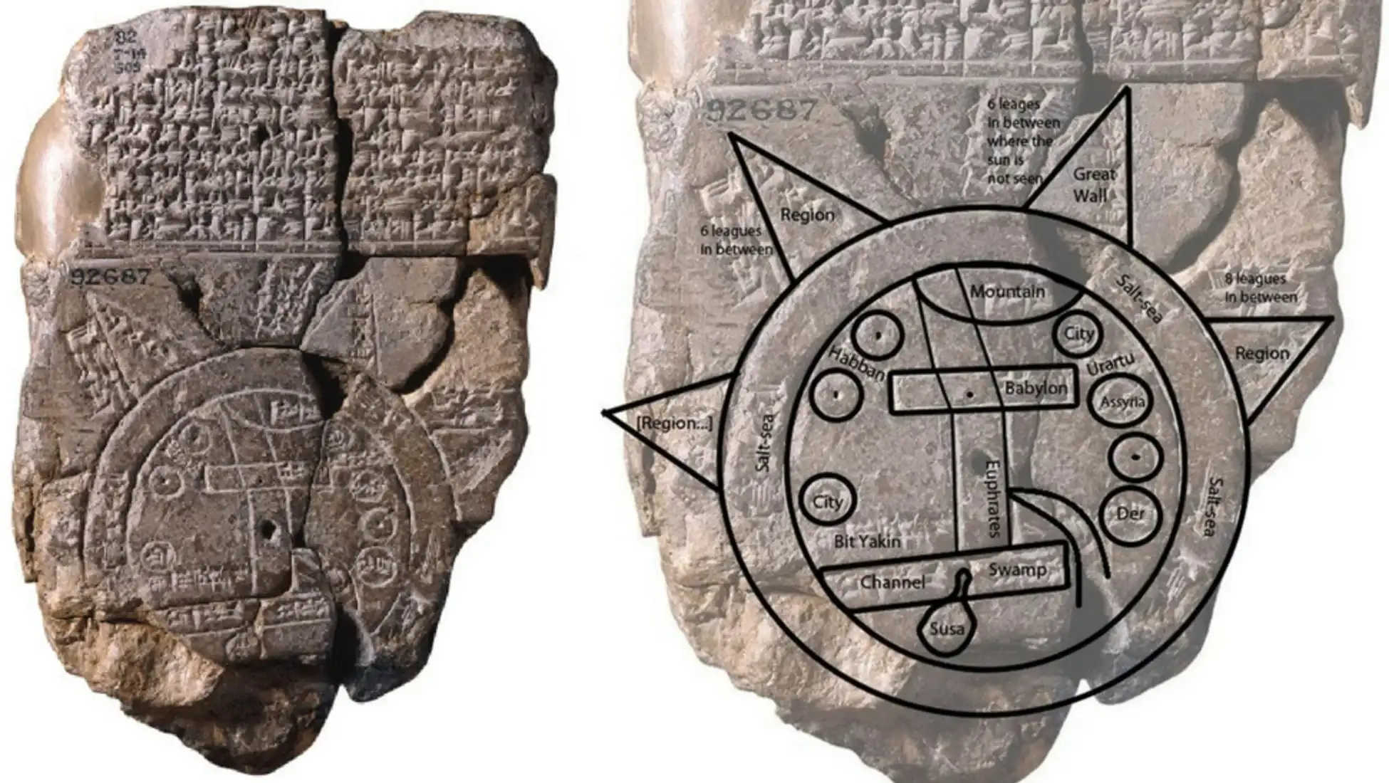
The earliest known maps date back to around 2300 BC. These ancient maps were often simple, designed to depict local areas or features important to the people who created them. As early as this, mapmaking began to serve practical purposes, helping people navigate their surroundings, track trade routes, and record territorial boundaries. *
Ancient civilizations, such as the Babylonians, Egyptians, and Greeks, developed their own mapmaking traditions. These early maps were often influenced by astronomical observations and mythological beliefs, offering a combination of geographical information and symbolic representations. While these maps were rudimentary by modern standards, they played a crucial role in shaping the worldviews of their creators and laid the groundwork for future developments in cartography.
The Age of Discovery: Maps as Tools of Empire
The Age of Discovery, spanning from the late 15th to the early 17th centuries, saw European explorers chart new territories across the globe. During this period, maps became indispensable tools for European empires, playing a critical role in their expansion, conquest, and colonization. Maps were used to chart trade routes, establish new colonies, and delineate boundaries between competing powers.

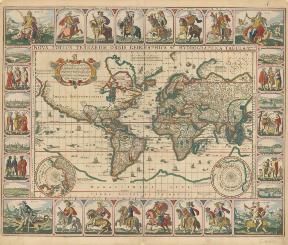
Accurate maps allowed European rulers to identify valuable resources, assess strategic locations, and plan military campaigns with precision. By depicting vast territories under their control, maps visually reinforced the power and legitimacy of these empires. They were not just tools for exploration—they became instruments of propaganda, conveying the empire’s dominance both to domestic audiences and to foreign powers. This use of maps as a tool for asserting political authority and territorial control marked a new chapter in global history.
Cartographic Innovations During the Exploration Era
As exploration expanded, cartography evolved rapidly, incorporating new techniques and technologies that revolutionized mapmaking. One of the most significant innovations was the Mercator projection, introduced by Flemish cartographer Gerardus Mercator in 1569. This projection preserved angles and shapes, making it particularly useful for navigation. Sailors could now chart straight-line courses across vast oceans, greatly enhancing the precision of long-distance travel.*
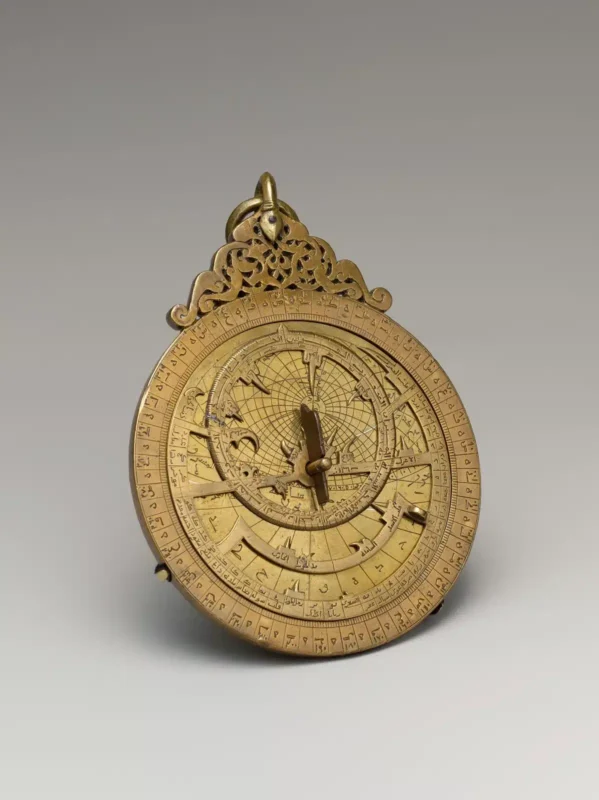
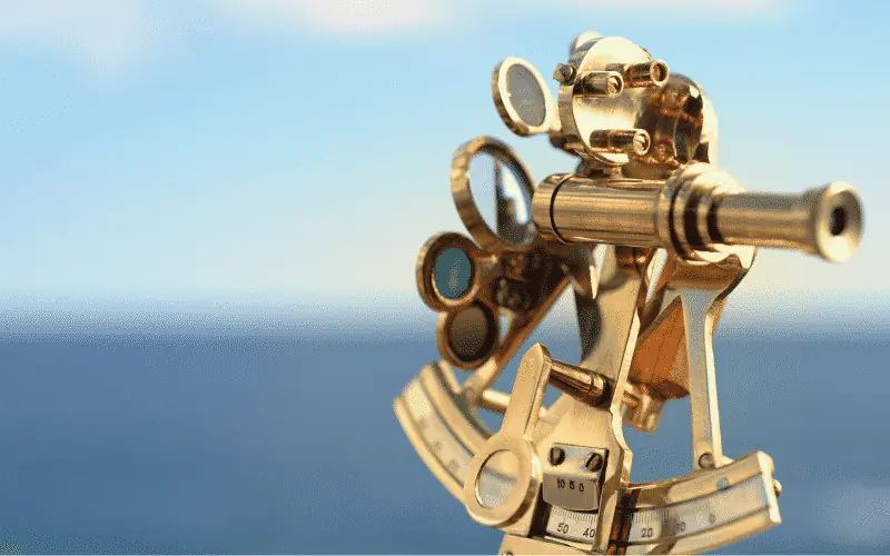
Another key development was the use of triangulation, a technique that employed angles and distances to determine the precise location of points on a map. This allowed cartographers to measure vast areas more accurately, significantly improving the precision of maps, especially when charting coastlines and inland regions. Alongside these innovations, new navigational instruments like the astrolabe and sextant enabled explorers to more accurately determine their latitude, further enhancing the accuracy of maps and helping explorers navigate previously uncharted waters.*

Maps and the Expansion of Empires
Maps were essential to the expansion of European empires during the Age of Exploration. They were not only tools for discovering new lands but also for consolidating power over them. Maps helped European powers identify territories for colonization, establish trade routes, and assert control over vast regions. By documenting the extent of their territorial holdings, maps reinforced imperial dominance, showcasing to both the world and their citizens the far-reaching power of their empire.
Maps also played a significant role in the administration and exploitation of colonies. They were used to divide land, track resources, and manage the territories under imperial rule. Accurate maps became essential for establishing trade networks, governing distant colonies, and planning military campaigns. In this way, maps were vital not just for exploration, but for the ongoing management and control of empire-building efforts.*
The Role of Cartography in Scientific Expeditions
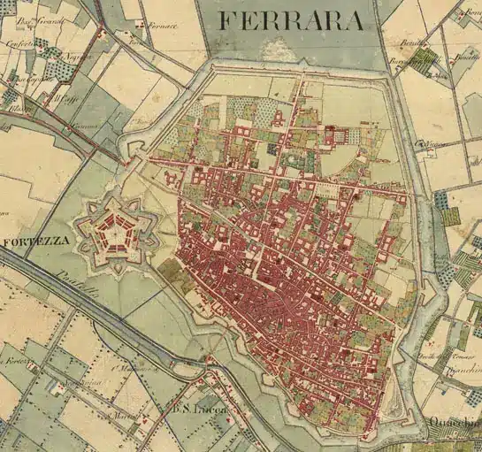
Beyond their political and military uses, maps also played a crucial role in the scientific expeditions of the Age of Exploration. As explorers charted new territories, they relied on maps to document their findings, record observations, and share their discoveries with the world. These maps were not only tools for navigation; they also served as records of natural phenomena, from coastlines and new species to geological formations.*
For example, Ferdinand Magellan’s expedition—the first to circumnavigate the globe—relied heavily on maps. The explorers used maps to track their progress, navigate unknown waters, and ultimately achieve their goal of circumnavigation. In addition to facilitating exploration, maps allowed scientists to share their findings with a wider audience. The detailed charts they created helped advance knowledge in fields like geography, astronomy, and natural history, contributing to the growing body of scientific knowledge during this era.
How Cartography Changed Exploration and Our Understanding of the World
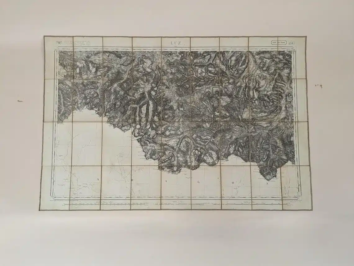
Cartography fundamentally transformed both exploration and our understanding of the world during the Age of Discovery. Prior to the development of accurate maps, exploration was a perilous and uncertain endeavor. The ability to chart unknown territories provided explorers with a visual guide to navigate the world, estimate distances, and avoid hazards, greatly enhancing the safety and success of their journeys.
Maps also played a significant role in advancing scientific knowledge. By documenting coastlines, landforms, and celestial bodies, cartographers helped foster a deeper understanding of the Earth and the universe. Their work contributed to the development of disciplines like geography and astronomy, pushing the boundaries of human knowledge. Maps not only helped explorers navigate the world—they helped us understand it in new and profound ways.*
Maps have always been more than just representations of the world—they are instruments of exploration, discovery, and change. From the earliest sketches of the Earth to the modern-day digital maps that guide us, cartography has shaped human history in profound ways.
As we continue to explore both the known and the unknown, maps will remain indispensable tools in our ongoing journey of discovery.
The Continuing Legacy of Exploration Maps
The legacy of exploration maps is still felt today, influencing both the way we navigate the world and our understanding of it. The innovations and discoveries of early cartographers have paved the way for modern mapping technologies, including satellite imagery and geographic information systems (GIS). These technologies continue to help us explore and understand our planet with greater precision than ever before.
Maps also remain a powerful symbol of exploration and discovery. They evoke a sense of adventure and curiosity, inspiring new generations of explorers, scientists, and adventurers. The maps created during the Age of Exploration laid the foundation for modern mapmaking and continue to influence the way we study the world, both physically and scientifically.
Today, as we continue to explore both the known and unknown, maps remain indispensable tools in our ongoing journey of discovery. From ancient sketches to advanced digital maps, cartography continues to guide us, offering new ways to understand the world and our place within it.
The Influence of Art Movements on Map Design
